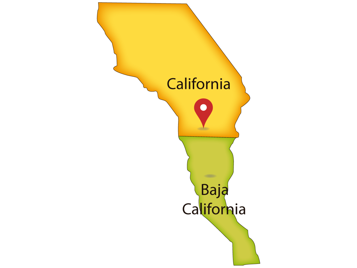
San Ysidro
( american side)

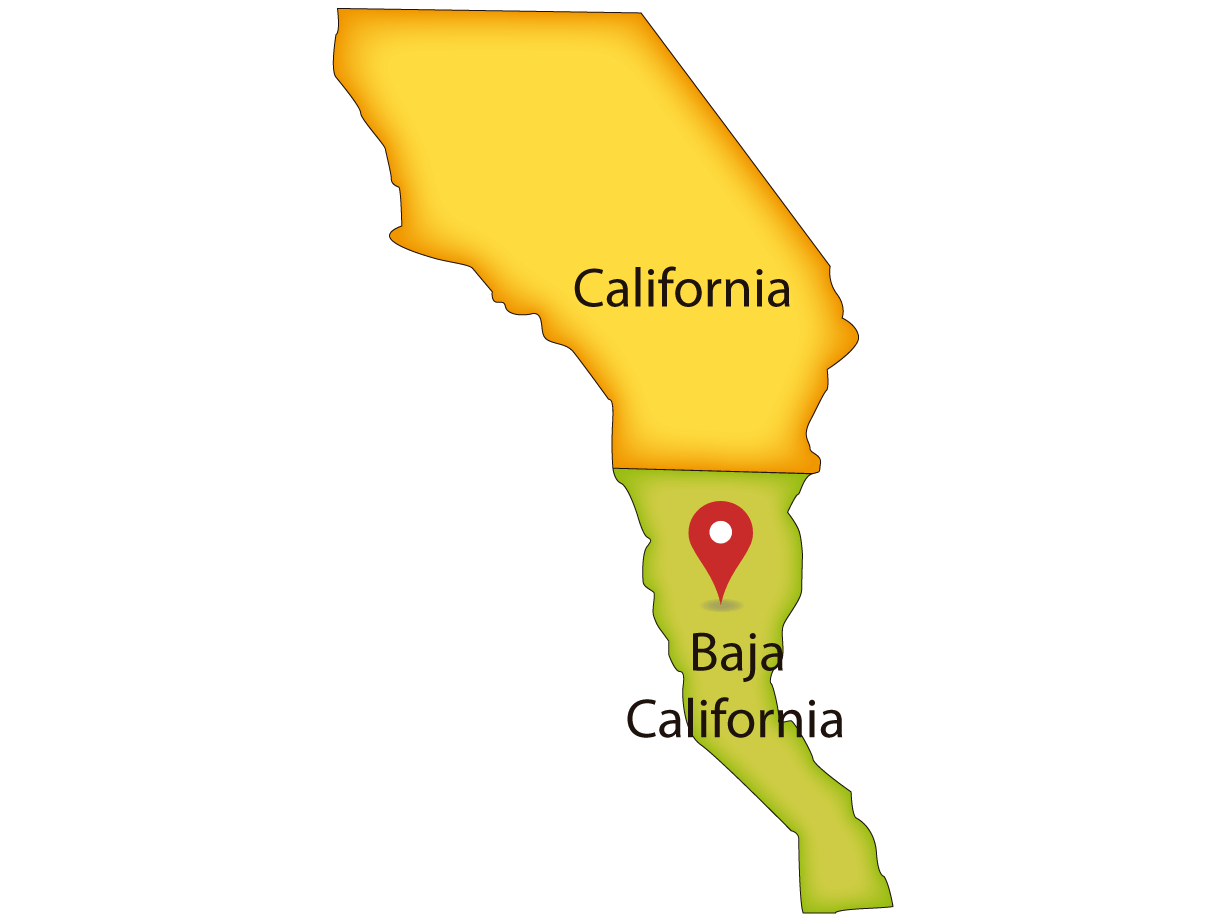
El Chaparral
(mexican side)
Banjercito
San Ysidro´s Office
WAIT TIME
GENERAL INFORMATION OF SAN YSIDRO / EL CHAPARRAL
This crossing is the largest of the three existing land crossings between San Diego and Tijuana.. It is also known as the San Ysidro and San Ysidro LPOE Port of Entry. It connects Interstate 5 on the American side with Federal Highway Mexico 1 on the Mexican side. The southbound lanes of Interstate 5 lead to Mexico’s entrance, El Chaparral, which has a vehicle and passenger inspection. Here, the United States can conduct brief inspections to the south, and Mexican inspections can be more complete and thorough.
LOCATIONS, TELEPHONES AND HOURS OF SAN YSIDRO / EL CHAPARRAL
AMERICAN SIDE– San Ysidro Port of Entry – San Diego, California
-
- Names: San Ysidro LPOE, Garita San Ysidro
- Location: 720 East San Ysidro Blvd. San Diego, CA 92173.
- American Highway: I-5
- Coordinates: 32°32’36.4″N 117°01’48.9″W
- Digital Address: GXV9+9V San Diego, California
- Schedule: Open 24 hours
- Phone: +1(619) 690-8900
- Web Side: cbp.gov
MEXICAN SIDE – Garita El Chaparral – Tijuana, Baja California
-
- Names: Garita El Chaparral
- Location: Canalización Rio Tijuana s/n, Federal, 22010. Tijuana, Baja California. México.
- Mexican Highway: Carretera Federal México 1
- Coordinates: 32°32’27.2″N 117°02’04.8″W
- Digital Address: GXR8+94 Tijuana, Baja California, México
- Schedule: Open 24 hours
- Phone: +52(664) 6242300
BANJERCITO OFFICE NEAR SAN YSIDRO / EL CHAPARRAL
- Name: San Ysidro
- Address: Jose María Laroque 471, Tijuana. Col Federal, Puerto fronterizo Puerta México Chaparral , B. C. 22310.
- Schedule: Monday to Friday @8:00 – 17:00 hrs, Saturday @8:00 – 13:00 hrs
- Phone: +52(664) 682 3182
- Sitio Web: banjercito.com.mx

